ClickUp Geospatial Knowledge Hub
Build a Dynamic Knowledge Base for Geospatial Analysis
Create a centralized, searchable repository for datasets, methodologies, spatial models, and troubleshooting—so your team accesses accurate geospatial insights anytime.

Trusted by the best
ClickUp vs Traditional Geospatial Tools
How ClickUp Transforms Geospatial Knowledge Management
Unify your spatial data and analysis knowledge in one evolving platform.
Conventional Geospatial Tools
- Data and insights scattered across disconnected platforms
- Manual updates risk outdated methodologies and findings
- Limited integration between spatial models and project tasks
- Access restrictions cause redundant data copies
- Time-intensive documentation and collaboration processes
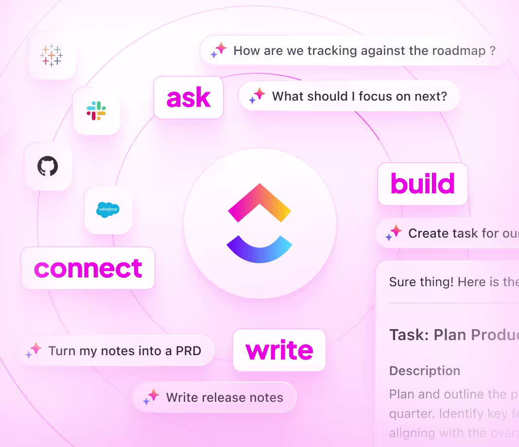
ClickUp for Geospatial Knowledge
- Integrate spatial data, analysis docs, and project workflows seamlessly
- Use ClickUp Brain and AI to automate content creation and updates
- Link knowledge base directly with geospatial projects and datasets
- Granular permissions streamline sharing with stakeholders
- Accelerate insights delivery with AI-powered summaries and troubleshooting
Building Your Geospatial Knowledge Base
How to Develop a Knowledge Base for Geospatial Analysis
Follow this 6-step approach to ensure your spatial knowledge is organized, accessible, and current.
1. Identify your geospatial audience and knowledge goals
- Define users: analysts, GIS specialists, decision-makers
- Outline key workflows from data acquisition to spatial modeling
- Assign content owners to maintain clarity and consistency
2. Design a clear, navigable knowledge base structure
- Create hubs for data sources, spatial methods, tools, and results
- Incorporate sections for coordinate systems, projections, and metadata
- Ensure changelogs and updates are easy to locate
3. Standardize documentation templates for spatial processes
- Use uniform formats for data processing, analysis, and visualization
- Document parameters, software versions, and validation steps
- Include error handling and troubleshooting guidelines
4. Incorporate practical guides and troubleshooting workflows
- Develop how-to content for common spatial analyses and GIS operations
- Provide solutions for typical data errors and projection issues
- Centralize best practices for data quality and model accuracy
5. Link knowledge updates to project milestones and datasets
- Connect documentation revisions to dataset updates and analysis cycles
- Treat knowledge base maintenance as part of spatial project delivery
- Keep content aligned with evolving geospatial standards
6. Manage access and sustain knowledge quality over time
- Set permissions for internal teams, partners, and external users
- Monitor feedback and schedule regular reviews
- Maintain records of data provenance and methodology changes
Empowering Geospatial Teams
Unlock the potential of your geospatial knowledge with ClickUp
Harness ClickUp’s advanced tools to keep your spatial knowledge comprehensive, traceable, and adaptable across projects.
Organize
Structured Geospatial Documentation with ClickUp Docs
- Sections for datasets, spatial methods, coordinate systems, and analysis protocols
- Intuitive tables of contents and nested pages for easy navigation
- Consistent formatting for reproducible spatial workflows
Why it matters: Analysts locate critical information swiftly, reducing errors and rework.

Manage
Accountable and Trackable Knowledge Ownership
- Convert knowledge gaps into assigned tasks with due dates
- Assign owners and schedule periodic reviews
- Monitor documentation progress alongside spatial projects
Why it matters: Your knowledge base remains accurate and trustworthy over time.

Integrate
Connected Documentation Aligned with Spatial Deliverables
- Link docs to datasets, project milestones, and analysis updates
- Associate issues and feedback directly with documentation
- Ensure knowledge evolves with your geospatial initiatives
Why it matters: Documentation reflects real-world project changes, improving decision-making.

ClickUp Geospatial Knowledge Base
Common Questions About Geospatial Knowledge Management

SOC 2
CERTIFIED
ISO 27001
CERTIFIED
GDPR
COMPLIANT
HIPAA
COMPLIANT